

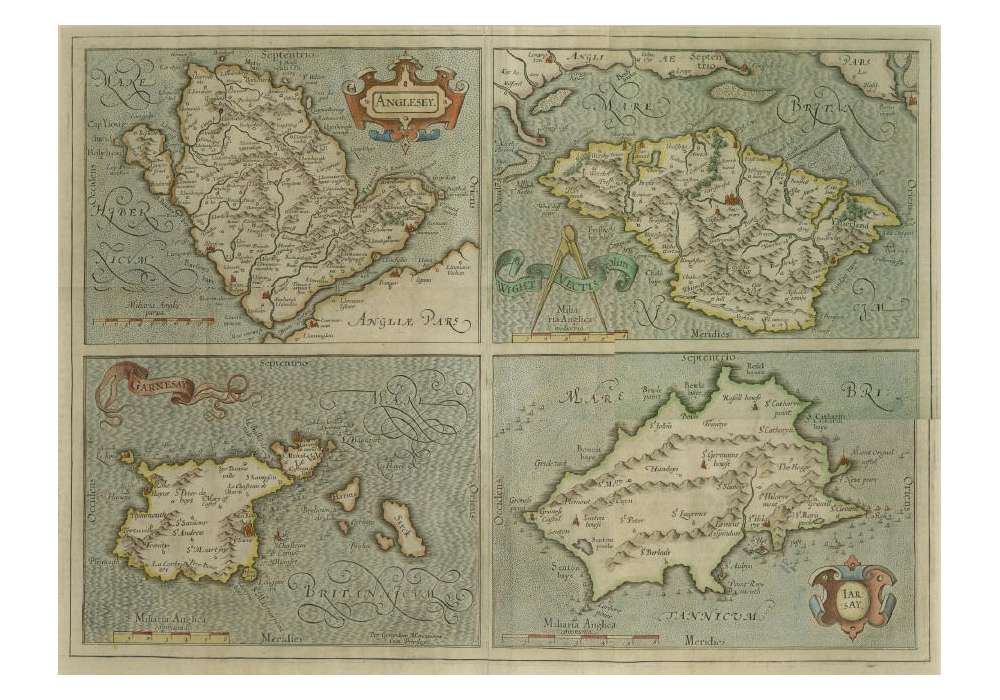
Gerardus Mercator Map of the Channel Islands C.1620

merc001
New
Warning: Last items in stock!
£ 550.00
- Gerardus Mercator Map of the Channel Islands
- Image size: 440 x 350 mm
- framed size: 620 x 530 mm
- Circa.1620
This map shows all the Channel Islands along with Anglesey and the Isle of Wight, it is in good condition and is framed with conservation materials, including ClearColour reflection control UV filter glass and Bainbridge Alpharag Artcare mount board.
No customer reviews for the moment.


